
Harker Heights Block Sources
Block research works best when every source has one defined function. The city map shows parcel geography and nearby public features. Bell CAD identifies the tax-roll owner and parcel facts. The county clerk can confirm recorded transfers and plats. Voter information, where the law allows access, is a registration record rather than a household count. Community pages can supply a public contact, but they do not turn private membership into a block roster. Keeping those boundaries clear prevents a parcel search from becoming a claimed household list.
| Source | What It Shows About a Block | Access |
|---|---|---|
| Harker Heights GIS map | Touching parcels, address points, streets, zoning, limits, parks, and schools | Public map after disclaimer acceptance; boundaries are approximate |
| Bell CAD | Owner, mailing address, situs, legal description, and parcel identifiers | Public property search, one parcel at a time |
| Bell Clerk records | Recorded transfers, plats, parties, dates, and legal-description relationships | Public index; image and copy access can vary |
| Voter lookup or list | Registration information that Texas law permits | Individual lookup or statutory request; protected fields omitted |
| Neighborhood Watch and civic pages | Program structure and public group contacts | City guidance, not member directories |
An adjacent owner may not be the person who lives there, and a person who lives there may not appear in a property card. The public records establish ownership, geography, public affiliations, or registration facts. They should not be combined into a claimed roster of every household on a Harker Heights block.
Harker Heights Neighbor Parcel Flow
Use the city map to move out from one address instead of trying to search an entire street at once. The city GIS supplies Harker Heights addresses, Bell CAD parcels, streets, zoning, land use, parks, schools, city limits, and ETJ layers. Its purpose is context. The city says parcel boundaries are approximate, so the map does not replace a survey or a legal property description.
- Open the city GIS map, accept its disclaimer, and locate the target Harker Heights address or street.
- Zoom until address points and parcel edges are visible, then identify the target parcel and each parcel that visibly touches it.
- Save each parcel's address or geographic clue and note nearby roads, parks, schools, city-limit, or ETJ layers that explain the map context.
- Search each parcel separately in Bell CAD for owner name, situs, mailing address, legal description, and property or geographic ID.
- Use a recorded-transfer question or plat question in the Bell Clerk index, and move to the Harker Heights street directory only when the task expands to a whole named street.
The Harker Heights GIS map is the public entry point for that visual method. No dedicated resident export, radius search, or public "neighbors" button was verified in the city map. Each parcel must be reviewed on its own terms.
Harker Heights GIS Neighbor Boundaries
The city’s ArcGIS layer service lists Bell CAD parcels alongside address, street, zoning, city-limit, ETJ, park, school, and planning layers. It has a 2,000-record maximum and query tools, but it is not a people-search system. Use it to understand whether a border is a parcel, public road, drainage tract, utility area, park, school parcel, or planning boundary before assuming it represents a private household.
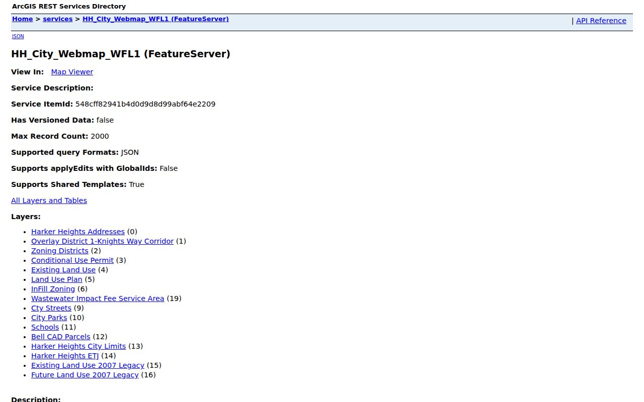
This layer inventory is a reminder to separate geometry from ownership. A map can show a parcel beside a home, but Bell CAD is the route for current tax-roll owner and mailing details, and Bell County Clerk records supply the title trail.
Harker Heights Neighbors at Bell CAD
At Bell CAD's prior-years property search, use a simple street name with the street number when possible, or use a property or geographic ID copied from the map. The research notes that the card can show owner, mailing address, situs, legal description, type, exemptions, map or sketch links, valuation history, and deed-history clues. A homestead flag is an owner-qualification signal, not a list of every household member.
For a title question, search the Bell County Clerk official-records portal by the current owner or grantee, then narrow by date, legal description, subdivision, or document type. The clerk index can point to a deed, release, lien, or plat. Images, account controls, carts, and copy procedures are separate from index searching. The portal did not show an exact historical online start year during the research pass.
Harker Heights Neighbor Voter Records
Texas voter access has two different paths. VoteTexas is a one-person registration check with VUID, driver-license, or name routes as the live form permits. A statutory list request is a separate process through the Secretary of State or Bell County voter registrar. A lawful list can contain defined registration fields, but it is not a census of everyone in a home, and it does not show ballot choices or a permanent party label.
Protected voters may have website suppression, an alternate address, or an asterisk in place of a residence address. Social Security numbers, driver-license and personal-ID numbers, telephone numbers, and protected addresses are restricted. Election Code section 18.009 also makes advertising or promotional use of information obtained from a furnished voter list a Class A misdemeanor. A Harker Heights neighbor check should stop at the public, permitted record and never try to fill a protected gap.
Harker Heights Neighborhood Watch Contacts
Harker Heights Neighborhood Watch is a city-supported program that uses a captain, members, and a city liaison. The city can help a group organize, and Community Services is the public contact at (254) 953-5400. The program is a way to connect with a block through consent and public city guidance. No public captain list, member list, HOA umbrella directory, or city-maintained block roster was found in the research.
The Harker Heights Neighborhood Watch page documents that program model and city liaison route.
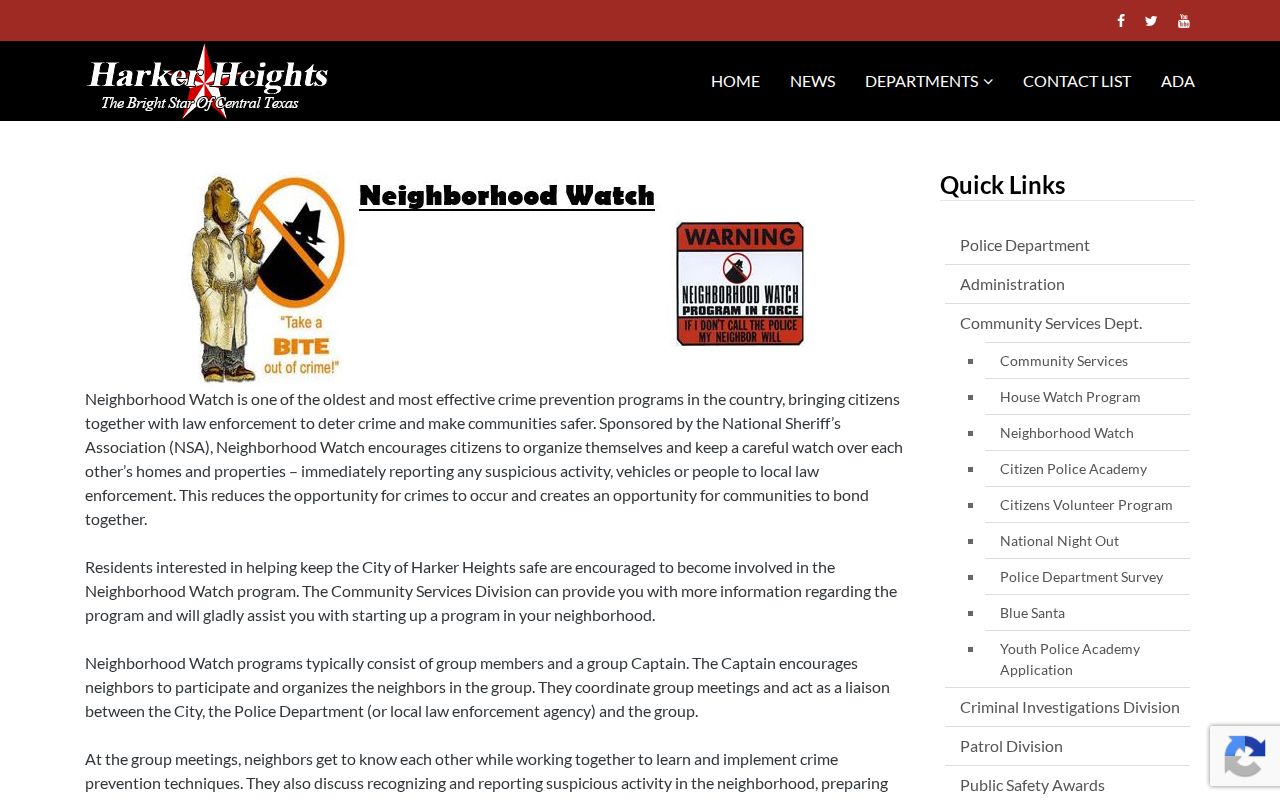
The screenshot supports a practical boundary: the city publishes how to organize and whom to contact, not the names or addresses of people who participate.
Harker Heights Neighbor Civic Contacts
City-listed organizations can add public community context to a Harker Heights neighbors search without implying private membership. The list includes Kiwanis, Harker Heights Lions, Knights of Columbus Council 9930, Rotary Club of Killeen Heights, Moose 2304, and Elks 138. The city gives meeting or contact information for some organizations. The Lions entry, for example, identifies its fire-training-building meeting location and a public phone contact. Contact details are useful for an organization inquiry, not proof that a named person belongs to a group.
| Public community resource | What the city source supports |
|---|---|
| Neighborhood Watch | Captain/member model and city liaison, without a public roster |
| Harker Heights Lions | Public meeting location at the fire training building and a listed contact route |
| Knights of Columbus Council 9930 | City-listed organizational reference, not a membership record |
| Rotary, Moose, and Elks | Public civic references that may provide a local contact path |
The Harker Heights civic-organization page is the source for those public group references.
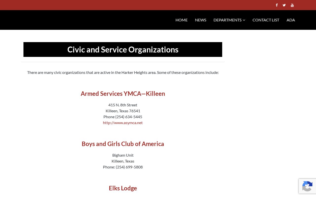
Use a public contact to ask about an activity or history. Do not infer an address, membership, or household connection from the listing.
Official Harker Heights Neighbor Records
Official sources are organized around a parcel, a filing, registration rules, or a public program. Commercial neighbor-lookup tools compile brokered and public data from many periods. Their matches can be stale or wrong, and they are not the custodian of a parcel, deed, voter record, or civic program. For a block question, the originating record is more useful because its scope and limitations can be checked.
| Source category | Useful strength | Limit to keep in view |
|---|---|---|
| City GIS and Bell CAD | Current parcel context and tax-roll ownership fields | Not a complete list of people at an address |
| Clerk, voter, and city records | Record-specific facts from a named custodian | Access rules, date coverage, and restricted fields apply |
| Commercial neighbor data category | May suggest a lead to verify | May mix old, incorrect, or unrelated associations |
A parcel map plus an owner name does not reveal every Harker Heights neighbor on a block. Non-owner occupants, children, guests, utility customers, delivery recipients, protected voters, and sealed-court parties sit outside a lawful parcel summary.
Harker Heights Neighbor Privacy Limits
Texas public-record access has firm privacy boundaries. The Address Confidentiality Program can provide eligible victims with a substitute mailing address for government interactions. A protected voter can be absent, substituted, or masked in a public-facing record. Driver and vehicle personal information is restricted, as are confidential victim information, sealed court materials, and sensitive identifiers. A map or parcel record does not override those protections.
For a city record that is not online, use the Harker Heights public-information request process for a narrow record type, address, and date range. The Texas Public Information Act does not require disclosure of confidential material. The city accepts requests through its portal, City Secretary, mail, fax, email, or in person, and says a detailed description helps retrieval. Ask for the public record by its actual date and purpose. Do not add a target person’s private details when an address, parcel identifier, permit type, or case number is enough to locate the file.
Lawful use. Use Harker Heights neighbors records for personal, lawful community awareness, reconnecting, or civic research. Never use a parcel, map, or public contact to stalk, harass, dox, intimidate, or harm another person.