
Find Harker Heights Streets by Address
A street-by-street search works best as a chain, not as a roster. Bell CAD can connect an address to a tax-roll owner, a situs field, a mailing field, and stable parcel identifiers. The city map then places that parcel among streets, zoning, city limits, and the extraterritorial jurisdiction. The Bell County Clerk index supplies the recorded-title trail. A voter record is a separate, restricted source that may confirm a registered person when the law permits. None of those sources names every person at a home.
Write down the address exactly before starting. Keep directional words, route designations, suffixes, and units in your notes. Bell CAD advises a simpler street name in its field, without prefix, suffix, or unit, then refinement with the street number, subdivision, or identifier. That small distinction prevents a search form from changing the source address you are trying to verify.
- Search the address in Bell CAD. Save the situs, owner, mailing field, Property ID, Geographic ID, and legal description shown on the parcel card.
- Open the Harker Heights GIS map, accept its disclaimer, and identify the parcel. Check the street, address-point, parcel, city-limit, and ETJ context.
- Use the owner or legal description in the Bell County Clerk official-records index. Search the current grantee first, then follow a seller back as an earlier grantee.
- For a name-specific confirmation, use the official VoteTexas route or ask Bell County Elections about a lawful list request. A non-match is not proof that nobody lives there.
- For a dated address lead, compare the relevant regional reverse directory or the 1993 Harker Heights map, recording its edition and page rather than treating it as current evidence.
Use each result for its own question. A parcel record supports ownership research. A map supplies spatial context. A deed supports a title trail. A historical address directory may supply an older lead. Combining them without labeling their limits turns a useful Harker Heights street directory search into an unreliable claim.
Read Bell CAD by Street
The Bell CAD prior-years interface offers owner, ARB, and advanced modes. Its practical address route is street number plus a simple street name. Owner, subdivision, condo, neighborhood, Property ID, and Geographic ID can narrow a large result set. The visible advanced form does not make every field mandatory. That lets a researcher start broadly and add a parcel clue only when needed.
| Bell CAD field | Street-directory use | Observed guidance |
|---|---|---|
| Owner Name | Find parcels tied to a known owner | Use last name first, such as Smith John. |
| Street Number | Anchor an individual address | Pair it with a simplified street name. |
| Street Name | Find the road portion of an address | CAD advises no prefix, suffix, or unit in this field. |
| Property ID / Geographic ID | Reconnect a parcel after a label changes | Use the identifier copied from the parcel card. |
| Subdivision / Condo / Neighborhood | Narrow common street or owner results | These controls use separate autocomplete searches. |
| Tax Year / Property Type | Refine a record question | Dropdown options were not exposed in the inspected interface. |
The result card may include values, exemptions, map or sketch links, valuation history, and deed-history columns. Treat those fields as research information, not a survey or title opinion. The current and prior-year interfaces are separate, and the research did not establish a universal online start year.
Map a Harker Heights Street Segment
City GIS is the best local tool for seeing how an address sits on a street. Its available layers include Harker Heights Addresses, Bell CAD Parcels, City Streets, Zoning Districts, Existing Land Use, parks, schools, City Limits, and ETJ. The map can also show the Knights Way Corridor overlay, conditional-use permits, and legacy land-use layers. Those layers explain land and planning context. They do not identify occupants.
Start with the city’s Mapping Services page when the address itself is in doubt. The office handles GIS mapping, 9-1-1 addressing, address verification, and zoning verification. A city source introduces the service, then the following map image shows the GIS entry point used to reach its parcel context.
Harker Heights Mapping Services is the source for this address-verification view.
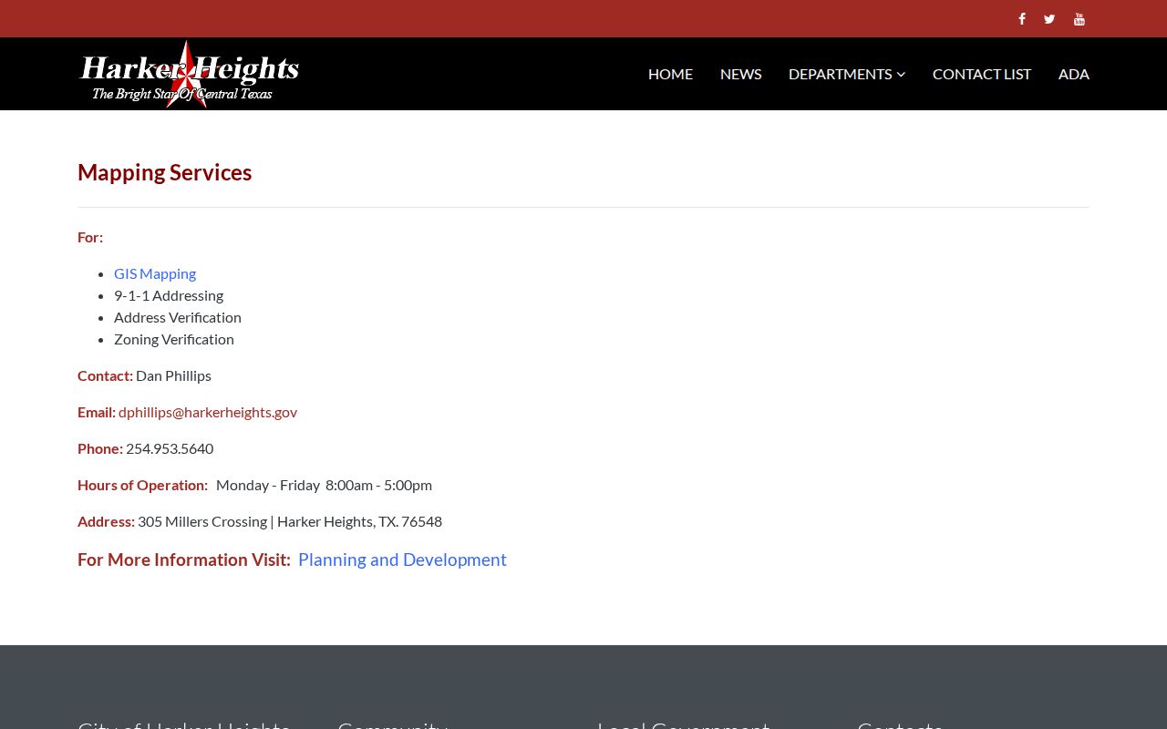
Use Mapping Services to resolve an address question before treating a map label as a parcel or ownership conclusion.
Harker Heights GIS is the source for the parcel-map entry shown here.
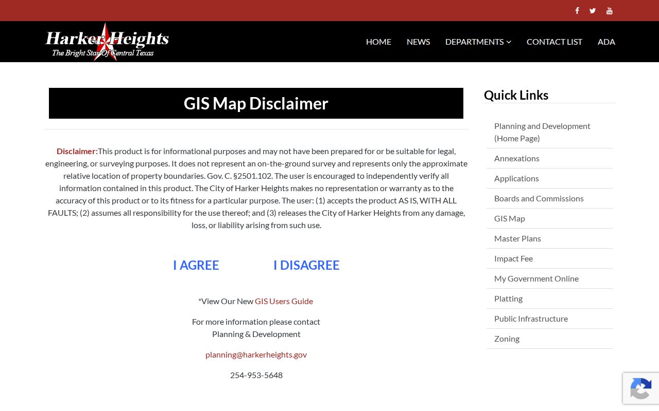
After accepting the map disclaimer, browse and click one parcel at a time, then carry its identifiers back to Bell CAD for owner fields and to the clerk for title records.
Note: City GIS boundaries are approximate mapping aids, so a plat or recorded description is needed for a legal boundary question.
Harker Heights Street Address Fields
A situs address is the parcel’s physical location. A mailing address is where a tax notice is sent. The two can differ without either being wrong. An official Harker Heights planning packet illustrates that issue with a Harker Heights situs and a Belton mailing city. Preserve both source fields in a street directory note instead of silently changing one to match the city name.
Important limit. A property card is not a complete household list. A homestead or disabled-veteran flag adds limited parcel context, but it does not establish exclusive occupancy or identify every person connected to an address. Map labels, delivery records, motor-vehicle data, and private utility accounts are not substitutes for an official, lawful record route.
- Parcel
- A taxed unit of land represented by an identifier and map geometry.
- Situs address
- The physical location assigned to that parcel.
- Plat
- A recorded map that lays out lots, blocks, streets, and related legal details.
- Criss-cross directory
- An address-arranged directory that can provide an historical name lead for a particular location.
Follow Harker Heights Deeds by Street
Use a legal description as the durable bridge from a street address to a deed chain. The clerk’s Quick Search and Advanced Search accept a search term and optional recorded-date range. Search Index Only is the default route. Search Index & Full Text (OCR) adds document text, and the portal warns that multi-word searching behaves differently between the two modes. Images, carts, and account behavior are separate from a free index query.
Search tip. Begin with the index and one name or legal-description term. Date presets can trim the result set, but do not assume the web portal contains every older record because its online start year was not displayed. If a phrase matters, compare index results with the OCR mode rather than assuming both searches work alike.
Bell County Clerk official records is the source for the search controls shown below.
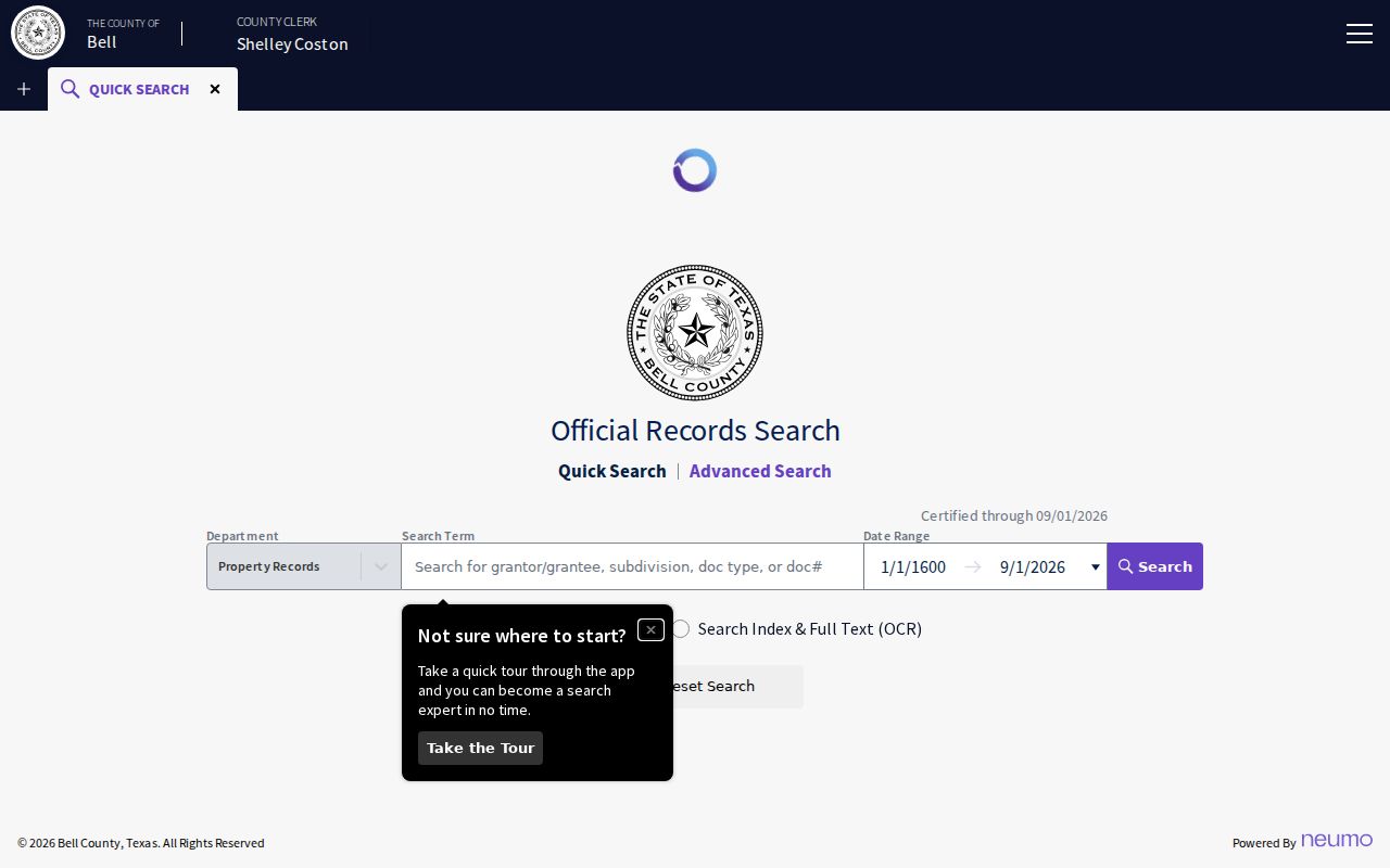
The index supplies party, date, and instrument leads. When a chain reaches an older record or an unavailable image, use the clerk counter, a certified-copy request, or the TSLAC Bell County archival guide rather than guessing from a street label.
Harker Heights Street Plats and Permits
A plat explains the legal structure behind an address. Harker Heights plat review applies inside city limits and the two-mile ETJ, and a final plat must be filed at the Bell County Courthouse before vertical permits. Lots, blocks, streets, utilities, legal descriptions, and sometimes nearby-property details can make a deed trail easier to follow than a modern street label alone.
For work at one address, the city’s building permits and forms route and My Government Online provide the starting channel. A file may date construction or alteration and may name an applicant, owner, or contractor. No official all-years public address index for permits or code cases was verified, so request an address- and date-specific file from Planning or through the city public-information process.
The city platting page and Bell County filing trail answer different parts of the same street question. Planning holds approval context, while the recorded plat links legal lots and blocks to the county record.
Harker Heights Street Limits and Growth
Street research needs a date. Harker Heights incorporated in 1960 and later expanded well beyond its original footprint. The city’s planning history totals 9,064.6 acres after annexations, including major growth during 1986 through 1990. A location shown in the modern city GIS may have had a different municipal label in an earlier deed, directory, or map.
Check the City Limits and ETJ layers before assigning a parcel to Harker Heights. Stillhouse Hollow Lake, the Killeen and Nolanville edge areas, and the two-mile plat-review area all affect local record geography. The research did not verify a citywide street-renumbering year. For an old-address mismatch, ask Mapping Services and compare plats with the 1982 and 1993 maps instead of inventing a renumbering explanation.
Historical Harker Heights Street Addresses
Older address research is regional. Harker Heights did not exist before 1960, so a pre-incorporation search belongs under Bell County, Killeen, or Fort Hood geography. The strongest named directory lead is the Killeen-area run, including a 1968 Killeen-Temple criss-cross directory lead. Its address section can provide a dated name clue, but each edition’s area scope must be checked before treating it as a Harker Heights entry.
The 1993 TSLAC Harker Heights map has a street index, advertisements, a local business-directory reverse side, and a Fort Hood map. Record the map edition, page, and original spelling. The historical collections themselves belong on the Harker Heights city directories page; use them here only to test an address trail against the parcel and deed evidence.
Note: A historical directory is an annual publication snapshot, so an absent name can reflect coverage, timing, or editorial limits rather than a move.
Harker Heights Street Records by Address
These records are keyed differently, which is why the street directory workflow starts with one address and retains the parcel identifiers. CAD is an ownership and tax-roll source. GIS is a location and layer source. The clerk index is a recorded-instrument source. Planning files address work and approvals. The voter route has its own statutory rules. Their limits matter as much as their useful fields.
| Address-keyed record | Local keeper | Useful street detail | Access path |
|---|---|---|---|
| Property card | Bell CAD | Owner, situs, mailing field, legal description, identifiers, values, and exemptions | Public portal, counter, phone, or request-form fallback |
| Parcel and map layers | Harker Heights GIS | Address points, approximate parcel geometry, roads, zoning, limits, and ETJ | Map UI after disclaimer or REST data service |
| Recorded instruments | Bell County Clerk | Grantor, grantee, date, liens, releases, plats, and legal-description clues | Public index; counter or copy route for records beyond online access |
| Planning and permit files | City Planning, Building, and Fire | Work scope, date, application, owner or applicant, and address context | Department, MGO route, or public-information request |
| Voter record or list | Bell County Elections / Texas SOS | Registration information permitted by statute | One-person lookup or statutory request, subject to protections and restrictions |
For a whole street, expect repeated parcel work. The clerk index is not a confirmed street export, and city GIS has no confirmed button to export every household along a road. That is a local limitation, not a missing search trick.
Harker Heights Street Directory Limits
A street directory can lead to public parcel and title facts. It cannot establish a full household roster. Non-owner occupants, children, guests, utility customers, delivery customers, motor-vehicle addresses, protected voters, confidential victims, and sealed court parties are outside this record chain or protected by law. A registered voter route is also not a list of everyone who lives at an address.
Texas public-record access has boundaries. The Texas Public Information Act does not turn every personal detail into an open record. Election Code rules limit how voter-list information can be used, and the Driver’s Privacy Protection Act restricts motor-vehicle personal information. Missing or masked information can be a required privacy control, not an error to work around.
Lawful use. Use Harker Heights address records for personal, lawful research only. Texas stalking and harassment laws apply when records are used to monitor, intimidate, or harm another person.