
Harker Heights ZIP Code Coverage
A ZIP Code is delivery geography. A Census ZCTA is a statistical approximation built from postal geography. Harker Heights’ Census place profile intersects five ZCTAs, but that does not prove that every one is a Harker Heights mailing ZIP. The source record confirms one city-specific delivery ZIP and identifies the other four as nearby or edge-area intersections that need address-level USPS verification.
| ZIP | Areas Covered | Post Office | Notes |
|---|---|---|---|
| 76548 | Confirmed Harker Heights mailing ZIP and core city delivery area | Harker Heights Post Office, 415 E FM 2410 Rd | Strongest local evidence. Verify a particular street address with USPS. |
| 76542 | Census ZCTA intersects the Harker Heights place profile near Killeen-area geography | Specific Harker Heights service not verified | Do not label every 76542 address as Harker Heights. |
| 76543 | Census ZCTA intersects the place profile near Killeen-area geography | Specific Harker Heights service not verified | An overlap is not city-delivery proof. |
| 76559 | Census ZCTA intersects the place profile near Nolanville-area geography | Specific Harker Heights service not verified | Confirm the individual address through USPS. |
| 76513 | Census ZCTA intersects the place profile near Belton-area geography | Specific Harker Heights service not verified | A Harker Heights situs can have a Belton mailing field. |
No PO-box-only or unique-institution ZIP serving Harker Heights was verified in the research. Nor was an official city-by-city ZIP boundary file or realignment history found. The table separates confirmed postal evidence from Census intersection context instead of turning an approximate polygon into a mailing claim.
Confirm Harker Heights ZIP Code 76548
76548 is the confirmed Harker Heights delivery ZIP in the source record. The USPS facility evidence names the Harker Heights Post Office at 415 E FM 2410 Rd and identifies 76548. That makes it the right starting point for a current address question, not a shortcut for assigning every nearby road or property to the city.
Search tip. Use an address-level USPS check before carrying a ZIP into any other record. A current ZIP and ZIP+4 result reflects delivery assignment. It is more precise for mail than a broad city-name list, yet it still does not establish the municipal boundary, parcel ownership, or who occupies a location.
USPS AIS Viewer is the official current address and ZIP verification route shown below.
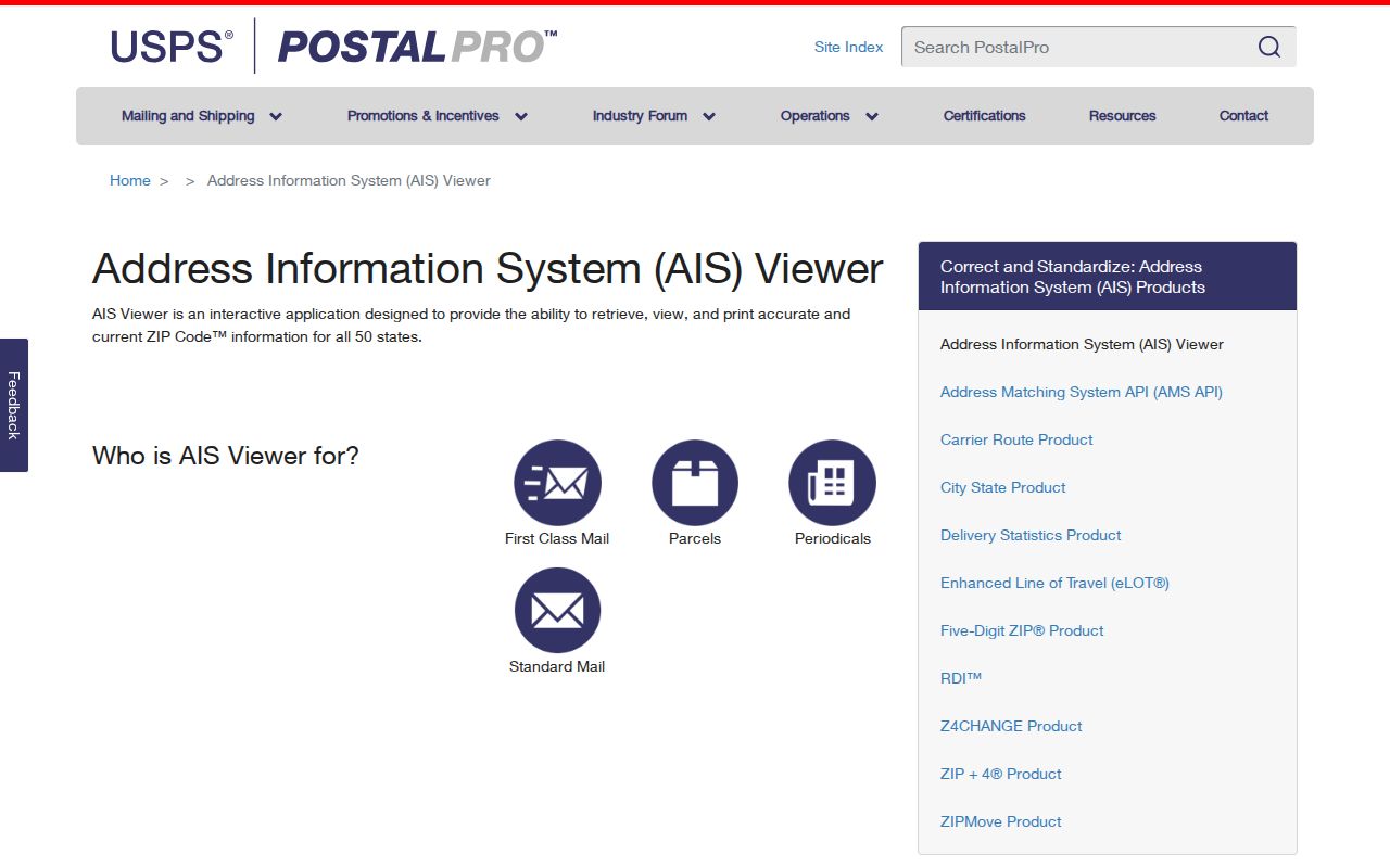
Enter the exact street address in the current USPS tool, retain the returned format, and then compare it with the tax-roll situs and city map instead of replacing one source field with another.
Harker Heights ZIPs and City Limits
The postal label, the city boundary, and the tax mailing field can point to different places. An official parcel-card example has a Harker Heights situs but a Belton mailing city in 76513. That pairing is not a contradiction. The situs identifies the parcel location, while the mailing field routes tax notices. A ZIP Code identifies delivery geography, not a municipality.
Boundary limit. Five intersecting Census ZCTAs do not mean that Harker Heights has five confirmed mailing ZIPs. The intersections for 76513, 76542, 76543, and 76559 are useful edge-area context. They are not proof that a particular Harker Heights address receives mail under any one of those ZIPs.
Boundary check. Compare USPS delivery with the Harker Heights City Limits and ETJ layers before assigning a ZIP-addressed record to the city.
Harker Heights ZIP Code Search Limits
Local official portals do not offer a confirmed ZIP-wide resident search. Bell CAD’s inspected Advanced Search lists owner, street number, street name, subdivision, property and geographic identifiers, plus related fields, but no ZIP field was exposed. The city GIS has addresses, parcels, city limits, and ETJ layers, but no confirmed ZIP layer or ZIP search control. VoteTexas is a one-person registration tool, not a public ZIP roster.
| Source | Useful ZIP task | Confirmed limitation | Next record key |
|---|---|---|---|
| USPS AIS Viewer | Check one current address, ZIP, and ZIP+4 | Live result requires interactive address entry; captured field labels were partial | Keep USPS address format |
| Bell CAD | Research a known address or parcel in the area | No ZIP filter was exposed in the inspected form | Street number/name, Property ID, or Geographic ID |
| Harker Heights GIS | Compare address points with city limits and ETJ | No confirmed ZIP layer or ZIP-wide export | Parcel or address point |
| VoteTexas | Check a named individual’s registration where allowed | Not a ZIP-wide public directory | Name and official lookup requirements |
That limitation protects against a false promise. A ZIP narrows mail geography, then a verified address supplies the street and parcel fields that local record systems actually recognize.
Find Residents Within a Harker Heights ZIP
Start with a person or a specific address, not a claim that a local portal can list everyone in a ZIP. USPS verifies delivery. City GIS tests whether the address sits in city limits or ETJ. Bell CAD then ties a known street address to the parcel record. The clerk index can use the owner or legal description for recorded instruments. Each step narrows a different question.
- Check the individual address with the USPS AIS route and retain its returned ZIP or ZIP+4.
- Open the Harker Heights GIS map and compare the address point with City Limits and ETJ layers.
- Search Bell CAD by the street number and simplified street name, then save the Property ID, Geographic ID, situs, and legal description.
- Use the owner or legal description in the Bell County Clerk index when the next question concerns title, a plat, or a recorded transfer.
- For a named person, use the lawful official voter route rather than converting a ZIP or ZCTA into a household list.
Once the address is narrowed, the Harker Heights street directory has the fuller parcel-to-deed workflow. A ZIP result remains a delivery clue until it is anchored to the street, parcel, and record set that answers the actual question.
Move Harker Heights ZIPs to Parcels
Parcel identifiers are more stable than a mailing-city label. Bell CAD uses Property ID, Geographic ID, Map ID, and Owner ID. Its legal description may use lots, blocks, a subdivision, or survey language. A recorded plat links those legal elements to streets and utilities, while the city map provides approximate visual context. The county record, rather than the map alone, is the source for a legal description.
Keep all address versions together: city 9-1-1 or situs address, CAD location, postal delivery format, and any older directory wording. A difference may reflect a mailing field, city-limit change, or publication scope. It should trigger verification, not an automatic correction.
- ZIP Code
- A USPS delivery area used to route mail, not a city boundary.
- ZIP+4
- An added delivery segment that makes a particular address more specific.
- ZCTA
- A Census approximation of ZIP geography for statistics, not a USPS assignment.
- Carrier route
- A postal delivery grouping that is narrower than a broad ZIP area but is not a parcel title record.
Historic Harker Heights Addresses and ZIPs
Modern ZIP geography does not travel cleanly into older address research. Harker Heights incorporated in 1960, and older material may be filed under Bell County, Killeen, or Fort Hood rather than today’s city label. The 1993 Harker Heights map has a street index and local business-directory material. Earlier regional maps and plats can help test an address before a modern ZIP is projected backward.
Regional directories are keyed by their own publication area and address sections, not by today’s postal boundaries. The Killeen-area directory run and the 1968 Killeen-Temple criss-cross lead can help with an historical street query, but the edition must be checked for Harker Heights coverage. Keep the printed city, route, and street spelling exactly as it appears in the source.
Note: A current ZIP Code is useful for delivery verification, but it should not be used as proof of an earlier municipal label or address range.
Harker Heights ZIP Code History Gap
No official local ZIP realignment date was verified. No official city-by-city ZIP boundary shapefile was located either. That is important because an attractive boundary map can look more certain than the underlying postal evidence. A delivery ZIP may change over time, while an archived directory, map, plat, or tax record keeps the address form that existed when it was made.
Keep the source date with every address version. For a historic street question, compare the original directory or map with the 1982 and 1993 Harker Heights maps, the relevant plat, and current Mapping Services guidance. For a current delivery question, use USPS. This preserves the record trail without claiming a continuity that the local research did not establish.
Harker Heights ZIP Code Boundary Limits
There is no verified city-by-city ZIP boundary shapefile or ZIP realignment history for Harker Heights in the research record. USPS supplies the operational answer for one address. Census ZCTAs provide broad statistical context. City GIS supplies municipal boundaries and ETJ. CAD supplies parcel fields. The systems overlap, but they are not interchangeable.
For an edge-area question, first save the USPS delivery result. Next, check City Limits and ETJ in the city GIS. Then use the street address or parcel identifiers in CAD and, where needed, the legal description in the clerk index. That sequence avoids treating a postal label as a city record or a parcel boundary as a postal promise.
- PO-box ZIP
- A ZIP assigned to post-office boxes rather than ordinary street delivery.
- Unique ZIP
- A ZIP assigned to one high-volume organization or institution. None was verified here.
- City limits
- The incorporated municipal boundary shown in city GIS, separate from postal geography.
- ETJ
- The city’s extraterritorial jurisdiction, which can affect planning and plats without being inside city limits.